
For decades, the core mechanics of private investigation remained largely unchanged; to provide covert surveillance, an investigator had to manually track and trace their target. While these traditional tactics remain vital tools in a private investigator's arsenal, they have undeniable operational limits.
Terrain like heavily wooded rural acreage or sprawling commercial estates can present severe tactical challenges to traditional surveillance measures. In these environments, conventional vehicle or foot surveillance often forces a difficult choice: get close enough to gather clear evidence and risk "burning" your position, or stay far enough back to remain hidden and risk losing the subject entirely.
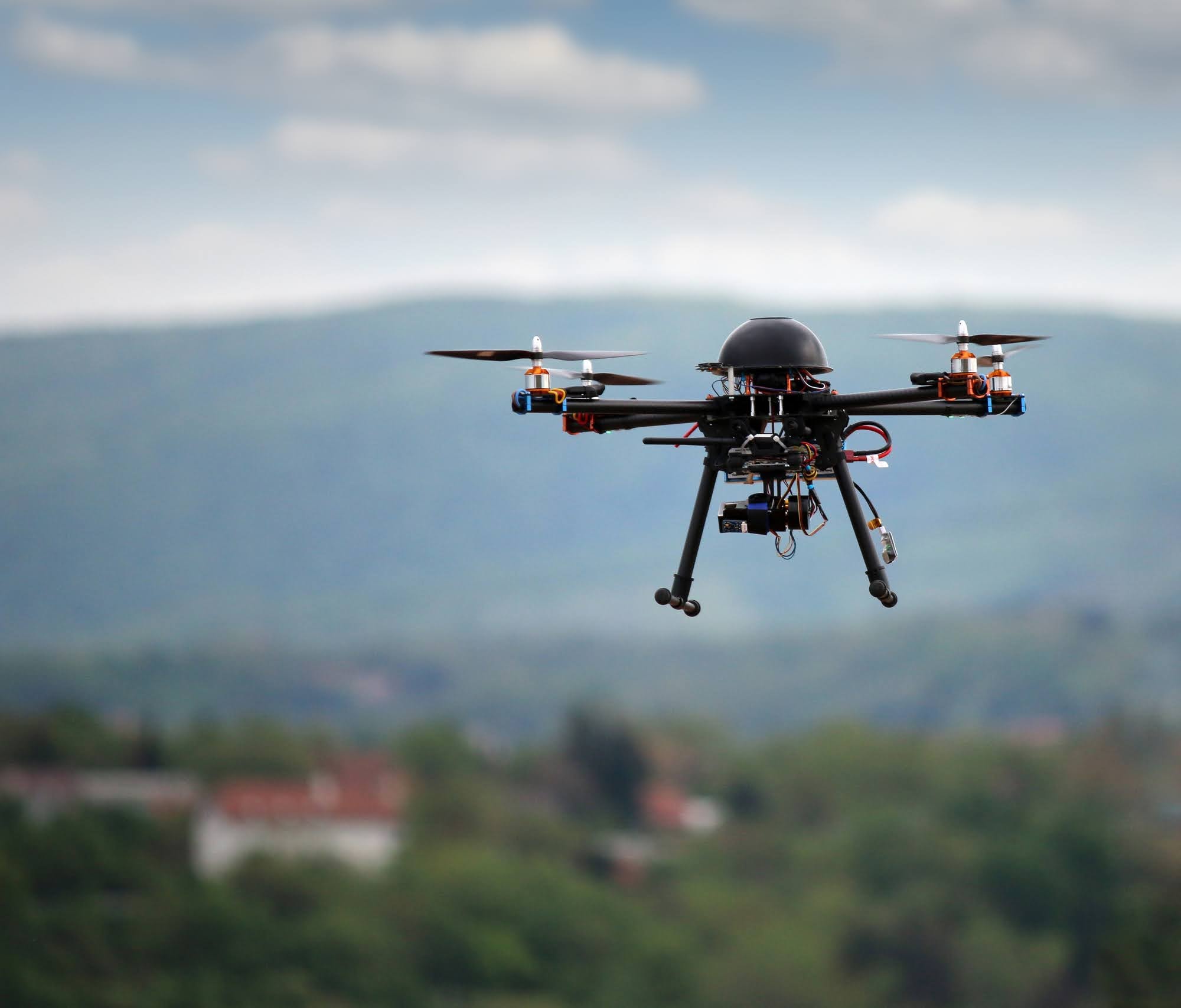
Today, advanced aerial technology has bridged this operational gap. The introduction of FAA-certified drone platforms into private investigations has fundamentally transformed how high-resolution evidence is gathered.
Breaking Through the Barriers of Traditional Surveillance
To understand the impact of unmanned aircraft systems (UAS), one must look at where traditional surveillance hits a wall. Consider a classic rural or suburban workers' compensation fraud investigation. If a claimant asserts they are completely unable to perform physical labor but then are suspected of operating heavy machinery on a massive property, a ground-based investigator is at a real disadvantage.
Similarly, in high-density urban settings, tailing a subject into a multi-level construction site on foot is incredibly high-risk. The moment a subject notices the same vehicle or face twice, the entire operation is compromised.
Drones eliminate these physical barriers entirely. By transitioning the operational plane from a two-dimensional ground view to a three-dimensional aerial view, investigators can completely bypass physical obstacles and observe their targets. An aerial drone can launch from a completely covert location miles away, ascend to a safe, quiet altitude, and lock onto a target area within minutes.
The Power of High-Resolution, Court-Admissible Documentation
A common misconception about drone surveillance is that it produces grainy, unstable footage mimicking a hobbyist's camera. In professional investigations, the reality is entirely different. Agencies like Foresight PI deploy enterprise-grade drone platforms equipped with highly stabilized, ultra-high-definition cameras and massive optical zoom lenses. From hundreds of feet in the air, these aerial platforms can capture crystal-clear, timestamped video of a subject's face or distinct physical activities. This high-resolution clarity is critical. In legal proceedings and corporate litigation, ambiguous video is easily dismantled by opposing counsel. Drone-captured evidence provides definitive, undeniable visual proof that leaves no room for interpretation.
Furthermore, these modern platforms are frequently paired with advanced imaging technologies. When investigations extend into the night, or when a subject is operating in a low-light environment where standard digital cameras fail, infrared and thermal imaging payloads allow operators to maintain 24/7 visibility. Thermal-equipped drones map clear heat signatures, ensuring that the cover of darkness is no longer an obstacle.
Eliminating the Risk of "Burning" the Position
In the investigative industry, the gold standard of covert operations is absolute discretion: the subject must never know they are being watched. The moment a subject becomes hyper-aware of their surroundings, they alter their natural behavior. This can effectively stall the investigation, which will drive up costs for the client.
Ground surveillance carries an inherent mathematical risk of detection. A stationary car parked on a quiet residential street sticks out to observant neighbors. A person holding a long-lens camera in a local park eventually draws attention. Drones mitigate this risk by keeping the investigator completely out of the subject's field of view. Operating from a distant, secure perimeter, a licensed investigator can monitor live, encrypted video feeds on a ground control station without ever placing a physical vehicle near the subject's immediate location.
Compliance and the Law: The Necessity of FAA Certification
While the tactical advantages of drones are profound, their utility hinges entirely on the legal compliance of the operation. Anyone can buy a drone at a retail store, but a commercial private investigator cannot simply fly it anywhere they please.
To ensure that the gathered video and photographic packages are legally valid and 100% court-admissible, drone operations must be executed by a pilot holding a current Federal Aviation Administration (FAA) Part 107 Remote Pilot Certification. FAA-certified operators are strictly trained in national airspace classifications, privacy regulations, weather limitations, and operational safety boundaries. They know exactly how to navigate local airspace restrictions and manage flight paths safely over changing environments, and they are trained to respect constitutional privacy laws. Learn more about drone surveillance laws in Louisiana.
"Conducting aerial surveillance without strict adherence to FAA protocols does not just risk heavy federal fines — it guarantees that the hard-earned evidence will be thrown out of court. Working with a pro is critical to gathering usable evidence."
The Future of Modern Intelligence Gathering
As corporate fraud, high-stakes legal battles, and asset protection challenges grow increasingly complex, the tools used to solve them must evolve. Aerial drone platforms do not replace the grit and experience of seasoned investigators; rather, they supercharge those capabilities. By providing a discreet and high-definition perspective from above, drones have successfully bridged the gap where ground surveillance fails.
Contact our team today to learn more about Foresight PI's FAA-certified drone surveillance capabilities. All consultations are strictly confidential.
Start a Confidential ConsultationFrequently Asked Questions
Can drones capture evidence at night or in heavily wooded areas?
Yes. Advanced investigative drones are frequently equipped with thermal and infrared imaging payloads. This technology maps clear heat signatures, allowing investigators to maintain 24/7 visibility and track asset or subject movement even in low-light environments or through dense tree lines where standard cameras fail.
Is drone surveillance legal, and can the footage be used in a court of law?
Yes, drone surveillance is entirely legal, and the captured footage is frequently used as a decisive factor in legal proceedings, provided the operation is conducted by a licensed professional. For drone-captured video or photographic evidence to be 100% court-admissible, the operator must hold a current FAA Part 107 Remote Pilot Certification. Furthermore, the investigator must strictly adhere to both federal airspace regulations and state-specific privacy laws, ensuring the aircraft never infringes upon a subject's reasonable expectation of privacy.
How do drones avoid being spotted during an investigation?
Professional investigators avoid detection by deploying sophisticated, enterprise-grade drone platforms rather than standard retail hobby quadcopters. These advanced industrial units are engineered with incredibly quiet propulsion systems and are equipped with high-powered optical zoom lenses and stabilized gimbals. This allows the drone to maintain a safe, covert altitude hundreds of feet in the air — often miles away from the target — placing it well beyond the normal threshold of human sight and hearing.
Why is a drone better than traditional vehicle or foot surveillance?
Traditional ground surveillance struggles with physical barriers like long driveways, gated communities, rural acreage, and secure corporate spaces. Drones bypass these obstacles entirely by moving the operation to a three-dimensional aerial view, allowing the investigator to gather uncompromised documentation without ever risking detection.
Learn more about our FAA-certified drone surveillance services